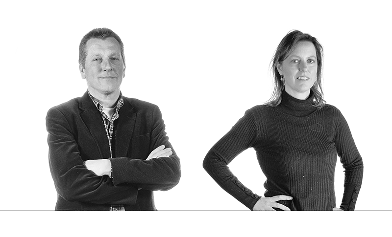
Should the new Dutch cabinet reinstate the ministry of Spatial Planning to reorganize land use in Netherlands? Yes, says Martha Bakker, professor of Land Use Planning at WUR. No, says Arjan Koomen, Sustainable Land Use programme leader at Wageningen Environmental Research. A debate on the shortage of space in the Netherlands.
Bakker: ‘There are a lot of claims to land on the table at the moment. We want to produce sustainable energy, we want to store more water, we want to plant trees and we want sustainable agriculture. All those things have an impact on the landscape. We currently organize these things by sector, but all those sectoral developments have side effects and sometimes they affect each other negatively. You need to coordinate that at the national level.’
Koomen: ‘I see all sorts of claims to land too. There’s an increase in distribution centres and data centres and in sustainable energy farms, whereas we also want to build more housing and create more space for nature.
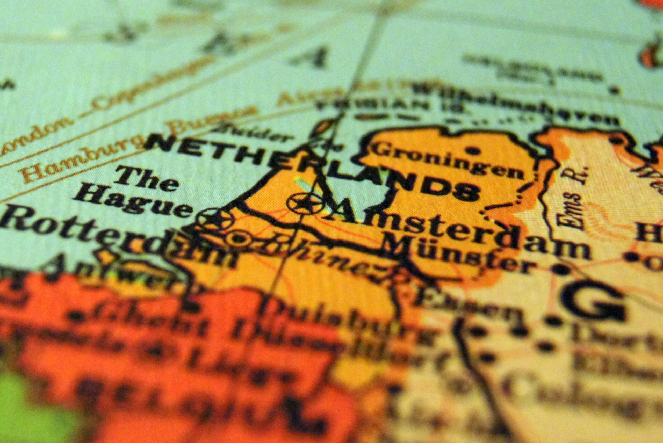
Martha Bakker: Make a map of all the spatial claims, then you see that there are too many of them
But I don’t think you should decide top-down: this goes here and that goes there. Stakeholders in the regions – nature organizations, farmers, water boards and provincial councils – must get together to come up with made-to-measure, innovative solutions. The government shouldn’t create blueprints but act on a vision that supports the regions in planning.’

Bakker: Land is a scarce good. We have the ministry of Finance to allocate scarce funding across the various sectors. In line with that, we should have a ministry of Spatial Planning to allocate scarce space.’
Koomen: ‘That reminds me of the reconstruction of the pig-farming industry when the government divided the countryside into zones. That national plan ran aground because it was top-down, it wasn’t specific enough, and it met with resistance. What did become clear at that time was that you must involve stakeholders in the planning and keep local people informed of the benefits of the plan.’
Bakker: ‘If you do the planning at the municipal level and give everyone a say, you get endless local lobbying by building contractors and locals with their nimby behaviour. There must be scope for local people to have a say, but it should be up to the government to break impasses and take unpopular decisions. Then you can invite the region to come up with a better plan. It’s all very well to talk about creating space for provincial governance, but it’s no fun to have to balance dozens of spatial claims, half of which you won’t be able to approve.’
Koomen: ‘If you start drawing maps in The Hague with ‘farms here, solar farms there, houses here and new nature there’ on them, you won’t get synergy and lots of things will still be unclear. I would like a government vision on spatial planning, but who is it that combines things like extensive agriculture, water storage and nature management? You have to do that in the regions because that is where the local knowledge is.’
Bakker: ‘That is true but start by making a map of all the spatial claims. Then you see that there are too many of them and that you’ve got to combine functions. And combining means giving up some things. The government can make those painful decisions, which makes implementation at the provincial level easier.’
Koomen: ‘The minute you draw a map with clear dividing lines, the discussion is all about the map and the dividing lines. And not about the tasks we face, possible opportunities, and the vision.’
Bakker: ‘The map clarified the problems. There are dividing lines on the map. Discuss them, fight over them. But if you don’t draw a map, you close your eyes for the choices that have to be made. All the municipalities side with the economically powerful sectors and leave the weaker functions like nature and agriculture for someone else to deal with. The government must put those weaker functions on the map, because no one else will.’
Koomen: ‘We used to have the Rural Areas Development Act, which provided a framework for spatial planning in the Netherlands and included powers of enforcement, so measures could be imposed. But this act is no longer in force. It might be worth taking a fresh look at it; it strikes me as a useful instrument.’

Bakker: ‘National legislation only works when the political will is present. And that kind of spatial planning map has to be valid for 20 years and not be up for discussion with every change of cabinet.
Arjan Koomen: The minute you draw a map with clear dividing lines, the discussion is all about the map and not the vision
That’s not easy, because it means politicians sticking their necks out. The current trend among politicians is not to do that: they have to defend every decision and step, and they are cautious. Then you end up taking the path of least resistance, and lobbyists get their way. The government should stop playing “hide and seek” and start offered daring solutions.’
Koomen: ‘Great, but then do make use of regional knowledge in the implementation. Work out a plan for an area like the Achterhoek together with the people who live there. Then it means something to the locals.’
Conclusion: The new government should develop a vision on spatial planning and draw up a map showing where land is to be designated for woodland, farming, energy generation and housing. The regions will then work out the details and fine-tune the plans.

 Arjan Koomen and Martha Bakker. Photo: Guy Ackermans

