 Photo: Shutterstock
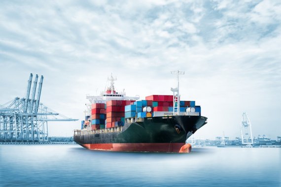
 WUR researchers will be using satellite images to track down seagoing vessels that use dirty fuels.
The international shipping industry is a notorious source of pollution as the heavy-duty ship’s engines emit large quantities of sulphur and nitrogen oxides. To combat this, the applicable rules have been tightened over the course of time. As of this year, the maximum sulphur concentration is only 0.5 per cent, for instance. An even more stringent norm of 0.1 per cent applies in the North Sea. But how do you check compliance?
Risk of getting caught
Until now, random spot checks were used, explains nature and environmental expert Folkerts Boersma (Meteorology and Air Quality). ‘For example, ships in Rotterdam port were assessed by taking samples and examining the logbooks on fuel usage. But that is very labour-intensive, so only a few ships can be checked. I suspect less than one per cent of the ships gets looked at.’
If you’re sailing from Rotterdam to China and back, you can save a million euros by not keeping to the fuel rules
Folkert Boersma
It pays for shipping companies to cheat the system. ‘If you’re sailing from Rotterdam to China and back, you can save a million euros by not keeping to the fuel rules,’ says Boersma. So strict enforcement would definitely improve matters. The Human Environment and Transport Inspectorate thinks the risk of getting caught needs to increase. Boersma and his colleagues at Leiden University believe that can be achieved by using satellite images.
![The average concentration of nitrogen dioxide measured by the Tropomi satellite above Malaysia and Indonesia between April and September 2018. In addition to the cities, the pollution measurements clearly show the Straits of Malacca, the main shipping channel between the Indian and Pacific Oceans. [eventuele streamer] ‘We can be fairly confident this ship produces a lot of pollution’](https://redactie.resource.wur.nl/upload_mm/3/5/8/f5c2cf49-c30d-4812-95d1-7d634aeb848c_tropomi_asia_2018.jpg "The average concentration of nitrogen dioxide measured by the Tropomi satellite above Malaysia and Indonesia between April and September 2018. In addition to the cities, the pollution measurements clearly show the Straits of Malacca, the main shipping channel between the Indian and Pacific Oceans. [eventuele streamer] ‘We can be fairly confident this ship produces a lot of pollution’")
‘Seeing’ ships
Five years ago, Boersma showed that you could use images from the Dutch OMI satellite to track marine traffic based on nitrogen oxide emissions. At that time, the resolution (1 pixel for 13×24 km2) was not good enough to ‘see’ individual ships. But he is getting closer with the sharper images from the new Dutch Tropomi satellite (1 pixel for 3.5×5.5 km2), especially since he now also has detailed data on the ships’ positions.
He should be able to get what he wants by combining the two data sources. Boersma: ‘We know the position and speed of the ships so if we see a plume of smoke taking a certain route, we can be fairly confident that this ship is producing a lot of pollution.’ It doesn’t mean the ship had been caught in the act: you need inspectors to board it first. But this method should enable more targeted spot checks.
Plumes of smoke
That is the simple version. In practice a lot of research is needed to draw the correct conclusions from all the data. Plumes of smoke are constantly moving because of the weather, which in turn disperses the the harmful substances. WUR is providing the expertise needed to interpret the images and model the emissions while Leiden is working on the algorithms to connect the pollution to individual ships. Each university will take on a PhD candidate for the project.